
Table of Contents
Introduction
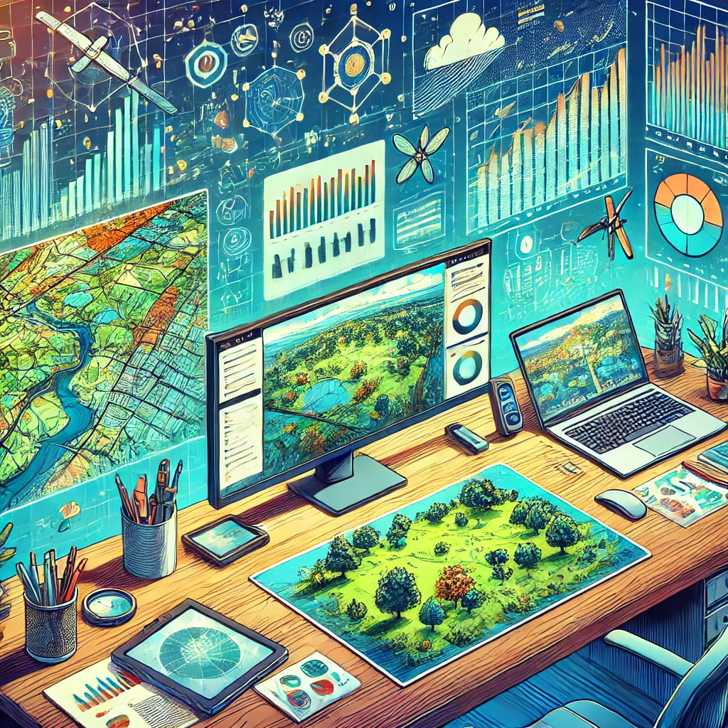
For environmental management, geospatial analysis techniques have revolutionized the area by providing essential insights into ecological patterns, trends, and processes through spatial data coupled with sophisticated technologies. This review discusses the transformative role of ecological management in geospatial analysis
Understanding Geospatial Analysis
Geospatial analysis refers to the collection, analysis, and interpretation of data related to the earth’s surface. It involves various techniques and tools to understand spatial patterns and relationships. The primary goal is to make informed decisions based on geographic data.
The Importance of Geospatial Analysis in Environmental Management
It is for this reason that geospatial analysis forms an integral part of environmental management by providing the correct and detailed spatial information required to monitor changes in the environment, manage natural resources, plan urban development, and respond to natural disasters. This allows its stakeholders to view and understand environmental phenomena in a spatial context that will foster more effective decision-making.
Key Geospatial Analysis Techniques
Remote Sensing
Remote sensing involves the acquisition of information about the earth’s surface without physical contact. It uses satellites, aircraft, and drones to capture images and data. This technique is vital for monitoring large and inaccessible areas, providing real-time data on land use, vegetation cover, water bodies, and atmospheric conditions.
Geographic Information Systems (GIS)
GIS is a framework for capturing, storing, analyzing, and managing spatial and geographic data. It integrates various data types and sources, enabling the visualization and analysis of spatial relationships. GIS is widely used in environmental management for mapping and analyzing environmental phenomena, creating predictive models, and managing resources.
Spatial Statistics
Spatial statistics involve the analysis of spatial data using statistical methods. These techniques help identify patterns, trends, and relationships in spatial data, providing insights into environmental processes. Examples include spatial autocorrelation, hotspot analysis, and spatial regression.
Spatial Interpolation
Spatial interpolation is a technique used to estimate unknown values at specific locations based on known values at surrounding locations. It is commonly used in environmental science to predict values such as rainfall, temperature, and pollution levels in areas where data is not directly available.
Network Analysis
Network analysis examines the relationships and interactions within a network of connected features, such as rivers, roads, and utility lines. In environmental management, network analysis is used for watershed analysis, habitat connectivity studies, and transportation planning.
Tools and Software for Geospatial Analysis
ArcGIS
ArcGIS, developed by Esri, is a powerful GIS software used for mapping and spatial analysis. It provides a comprehensive set of tools for data visualization, spatial analysis, and geoprocessing, making it a popular choice among environmental professionals.
QGIS
QGIS is an open-source GIS software that offers a wide range of functionalities for spatial data management, analysis, and visualization. It is widely used due to its cost-effectiveness and extensive community support.
Google Earth Engine
Google Earth Engine is a cloud-based platform for planetary-scale environmental data analysis. It provides access to a vast archive of satellite imagery and geospatial datasets, enabling large-scale analysis and visualization.
ERDAS Imagine
ERDAS Imagine is a remote sensing software that provides tools for image processing, photogrammetry, and spatial modeling. It is widely used for analyzing satellite and aerial imagery in environmental studies.
ENVI
ENVI is an advanced image processing software designed for extracting meaningful information from geospatial imagery. It supports various remote sensing and GIS workflows, making it a valuable tool for environmental analysis.
Applications of Geospatial Analysis in Environmental Management
Environmental Monitoring
Geospatial analysis is essential for monitoring environmental changes over time. It helps track deforestation, urban expansion, water quality, and air pollution, providing valuable data for environmental assessments and policy-making.
Natural Resource Management
Effective management of natural resources, such as forests, water bodies, and minerals, relies on accurate spatial data. Geospatial analysis enables the mapping and monitoring of resources, helping to optimize their use and ensure sustainability.
Disaster Management
In disaster management, geospatial analysis is used for risk assessment, emergency response, and recovery planning. It helps identify vulnerable areas, monitor disaster events, and coordinate relief efforts, improving overall resilience.
Urban Planning and Development
Urban planners use geospatial analysis to design sustainable cities and manage urban growth. It aids in land use planning, infrastructure development, and environmental impact assessments, ensuring balanced and environmentally friendly urban development.
Biodiversity Conservation
Geospatial analysis plays a crucial role in biodiversity conservation by mapping habitats, tracking species distribution, and monitoring ecosystem health. It supports conservation planning, habitat restoration, and the management of protected areas.
Challenges in Geospatial Analysis for Environmental Management
Data Accuracy and Quality
Ensuring the accuracy and quality of spatial data is a significant challenge in geospatial analysis. Inaccurate or incomplete data can lead to erroneous conclusions and ineffective management strategies.
Technical and Operational Barriers
The complexity of geospatial analysis techniques and the need for specialized software and hardware can pose technical and operational challenges. Training and capacity building are essential to overcome these barriers.
Ethical and Privacy Concerns
The collection and use of geospatial data raise ethical and privacy concerns. Ensuring the responsible use of data and protecting individuals’ privacy is critical in geospatial analysis.
Geospatial Analysis Techniques: Transforming Environmental Management
Future Trends in Geospatial Analysis
Integration with AI and Machine Learning
The integration of artificial intelligence (AI) and machine learning with geospatial analysis is a growing trend. These technologies enhance the ability to process and analyze large datasets, identify patterns, and make predictions, improving environmental management outcomes.
Advancements in Remote Sensing Technologies
Advancements in remote sensing technologies, such as higher resolution sensors and improved data processing capabilities, are expanding the potential applications of geospatial analysis in environmental management.
Increased Use of UAVs and Drones
The use of unmanned aerial vehicles (UAVs) and drones is becoming increasingly popular in geospatial analysis. They provide high-resolution data and real-time monitoring capabilities, particularly useful in remote or inaccessible areas.
Conclusion
Geospatial analysis techniques are transforming environmental management by providing critical insights and enabling data-driven decision-making. As technology continues to advance, the applications and effectiveness of geospatial analysis will only grow, offering new opportunities for sustainable environmental management.
FAQs
What is geospatial analysis?
Geospatial analysis involves the collection, analysis, and interpretation of data related to the earth’s surface. It uses various techniques and tools to understand spatial patterns and relationships.
How does remote sensing contribute to environmental management?
Remote sensing provides real-time data on land use, vegetation cover, water bodies, and atmospheric conditions, essential for monitoring and managing environmental changes.
What are the common tools used in geospatial analysis?
Common tools include ArcGIS, QGIS, Google Earth Engine, ERDAS Imagine, and ENVI, each offering various functionalities for spatial data management, analysis, and visualization.
What are the challenges in geospatial analysis?
Challenges include ensuring data accuracy and quality, overcoming technical and operational barriers, and addressing ethical and privacy concerns.
How is AI being integrated with geospatial analysis?
AI and machine learning are being integrated to enhance data processing, identify patterns, and make predictions, improving the effectiveness of geospatial analysis in environmental management.
What is the role of GIS in environmental management?
GIS integrates various data types and sources, enabling the visualization and analysis of spatial relationships, crucial for mapping, analyzing, and managing environmental phenomena.